🏖️ Beaches
Ksar Sghir archaeological site: a circular Marinid town on the Strait of Gibraltar, crossing point to al-Andalus, Portuguese from 1458 to 1550, uncovered by Moroccan-American excavations from 1972 to 1981.
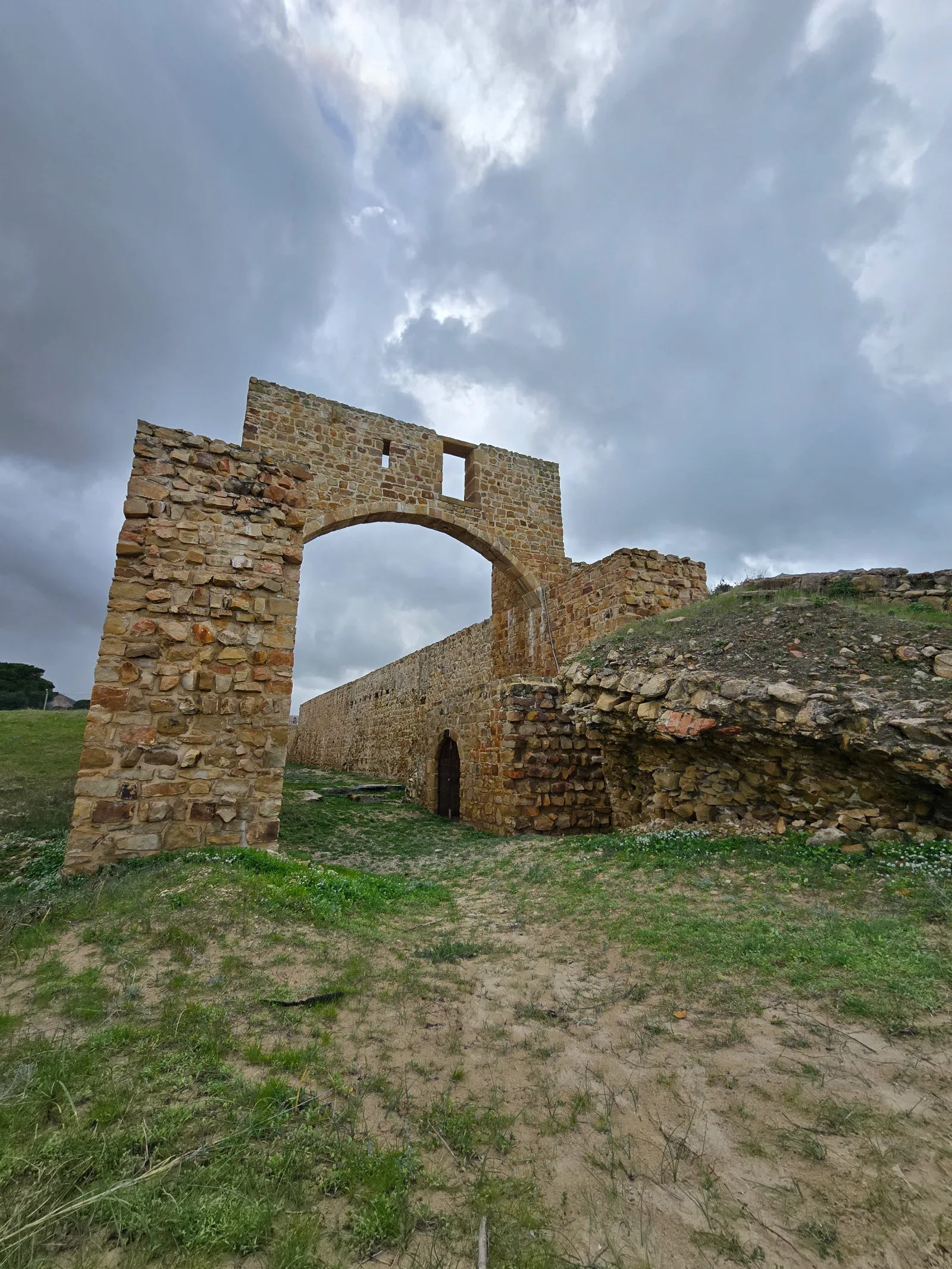
Next to Ksar Sghir beach lie the remains of a circular Islamic town that for centuries was the gateway to al-Andalus. Known as Qasr Masmuda and Qasr al-Majaz, it flourished under the Marinids and was occupied by the Portuguese from 1458 to 1550. The site is open to visitors and tells, in a single visit, the story of the Strait and its two shores.
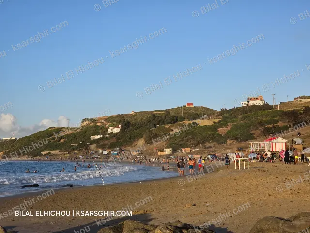
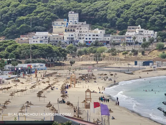
The site lies next to Ksar Sghir’s main beach, on the coast of the Strait of Gibraltar between Tangier and Fnideq. It belongs to the municipality of Ksar El Majaz, Fahs-Anjra province, even though it sits in the heart of Ksar Sghir. It is a few minutes’ walk from the beach, so sea and history combine easily in one day.
The surrounding area was settled as far back as Roman times, and some researchers believe the place is the “Exilissa” mentioned by ancient sources on the Strait. But the site’s real importance began in the Islamic period, under the name Qasr Masmuda and later Qasr al-Majaz, “the castle of the crossing”, the name today’s municipality of Ksar El Majaz takes after.
Ships crossed to the other shore from here: Ksar Sghir was a base for armies crossing to al-Andalus under the Almoravids, Almohads and Marinids, and a centre of trade with the Kingdom of Granada.
What sets Ksar Sghir apart most is its circular shape: a town enclosed by a round wall with towers and gates, a rare layout among Moroccan towns. Under the Marinids the town reached its peak, and excavations uncovered a mosque, a bathhouse and a commercial centre dating from the 12th to the 14th century, evidence of Marinid power and of Ksar Sghir’s role on the Strait.
In 1458 the Portuguese army led by Afonso V took Ksar Sghir and allowed the Muslims to leave with their belongings. It was the second Moroccan town occupied by Portugal, after Ceuta in 1415 and a failed attempt on Tangier in 1437.
The Portuguese reshaped the Islamic town:
The Portuguese stayed in Ksar Sghir for about 90 years before leaving in 1550.
From 1972 to 1981 a Moroccan-American mission led by archaeologist Charles L. Redman carried out extensive excavations, recommended by the Moroccan Ministry of Culture. Beneath the Portuguese layers it revealed a sequence of Islamic towns, along with mills, storehouses, ovens and presses. Hundreds of thousands of artefacts were recovered: pottery, tools, weapons, jewellery, coins and glassware, shedding light on daily life and trade between the two shores. Workers from nearby villages took part, and many became skilled archaeological craftsmen.
The best light for photos is early morning and before sunset, when the walls turn golden with the Strait behind them.
Next to Ksar Sghir’s main beach; it belongs to the municipality of Ksar El Majaz, Fahs-Anjra province.
Yes, the site is open to visitors.
Its rare circular layout and its role as a crossing base to al-Andalus and a trading post with Granada.
From 1458 to 1550, about 90 years.
A Moroccan-American mission led by Charles L. Redman, from 1972 to 1981.
Because “Qasr al-Majaz” is one of Ksar Sghir’s historical names: the castle of the crossing to al-Andalus.